Getting started
This is a prototype. Keep your official charts and your paper backup.
Building the app from source
There are no downloads yet: no App Store build, no installer, no release binary. Today you build the app yourself. When releases exist, this section becomes download links.
macOS is the proven platform. You need Xcode, free from the Mac App Store, and two command-line tools, from Homebrew:
brew install zig xcodegen
Then clone the repository and build the Mac app:
git clone https://github.com/beetlebugorg/lookout-marine.git
cd lookout-marine/macos && xcodegen generate && cd ..
macos/build.sh mac Release
open macos/build-mac/Build/Products/Release/LookoutMarine.app
The first build compiles the chart engine as well as the app, so give it a few minutes. After that, the last two commands are the whole rebuild.
On another platform, follow the developer guide instead. It carries the same short recipe for Linux, Windows, Android and iPhone and iPad.
Getting your charts
The app does not come with charts. NOAA publishes the ENC cells of United States
waters at no cost: download the whole set, or the cells of your area, from the
NOAA chart downloader.
Each cell is a file such as US5MD1MC.000.
Most other hydrographic offices sell their ENCs, and most sell them encrypted with S-63, which the app cannot read yet. Any unencrypted S-57 cell works, whoever published it.
Prepare them one time with the tile57 tool. It is a separate program: clone
tile57 and run zig build, which
writes zig-out/bin/tile57.
tile57 bake CELL.000 -o out/      # one cell
tile57 bake ENC_ROOT -o out/      # every cell you downloaded
You now have a folder of .pmtiles charts.
Opening a chart folder
Open the folder, not the single cells. The app then draws the most detailed chart available at each point and stitches the seams, the way a chart table works: the harbour chart where you have one, the coastal chart around it.
- Mac: File ▸ Open Chart… (⌘O).
- Windows and Linux: Open, or Ctrl+O.
- iPad and iPhone: the gear, then Charts ▸ Add Charts…. You can also drop the folder into the app with Files or the Finder.
- Android: the Charts tab of the settings.
With nothing open yet, the same picker sits in the middle of the window:
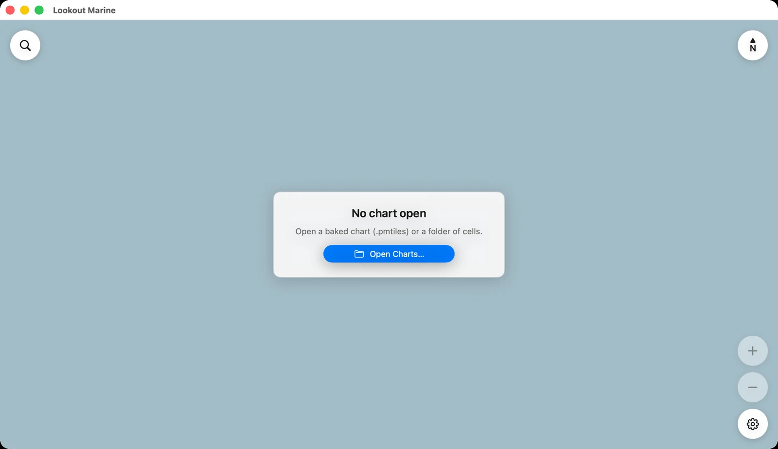
The app opens where you left it the last time.
Finding your water
A whole coast is a lot of chart. Two quick ways in:
- Type a position in the search field, at the top left.
38.978, -76.492and38°58'40"N 076°29'32"Wboth work, latitude first. - Click the blue scale in the bar at the bottom and pick Harbor.
Next: what everything on the screen means, and how to move the chart.